
 https://butphrg.org.uk/wp-content/uploads/2026/10/20260430-resistivity-survey_6.jpg
1363
2048
Duncan
https://butphrg.org.uk/wp-content/uploads/2026/10/bag-logo_square_340x156.png
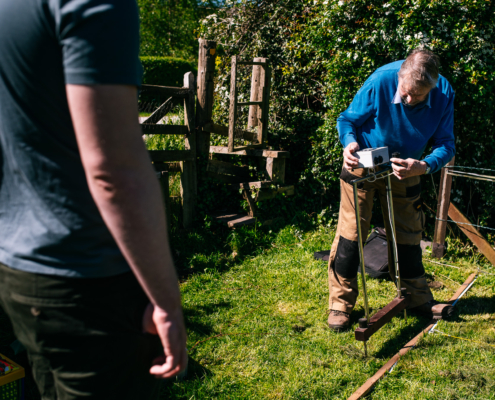
Duncan2026-04-30 19:48:002026-10-09 14:11:13Resistivity Survey – The Mere
https://butphrg.org.uk/wp-content/uploads/2026/10/20260430-resistivity-survey_6.jpg
1363
2048
Duncan
https://butphrg.org.uk/wp-content/uploads/2026/10/bag-logo_square_340x156.png
Duncan2026-04-30 19:48:002026-10-09 14:11:13Resistivity Survey – The Mere