Resistivity Survey – The Mere
Uncovering Hidden Features: The Mere Resistivity Survey
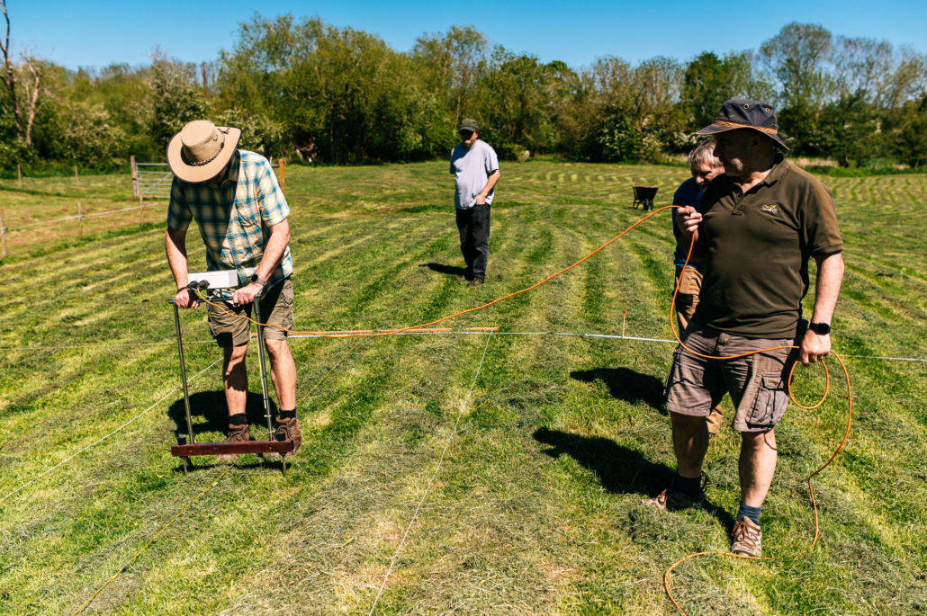
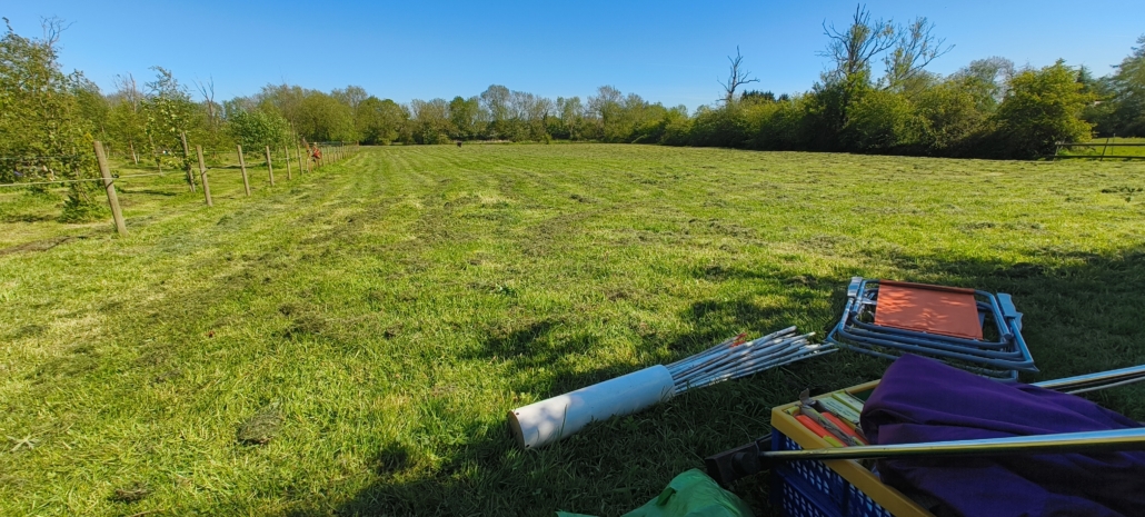
On 30th April 2026, the Barrow Archaeology Group headed out to a local field known as The Mere—affectionately called the “lumpy bumpy field” by locals—to conduct a targeted geophysical survey.
The field had caught our interest due to distinct linear features running across the landscape that don’t respect modern field boundaries. Although a magnetometry survey back in 2013 showed little of note, we wanted to test whether electrical resistivity might reveal structures or ditch lines hidden beneath the surface.
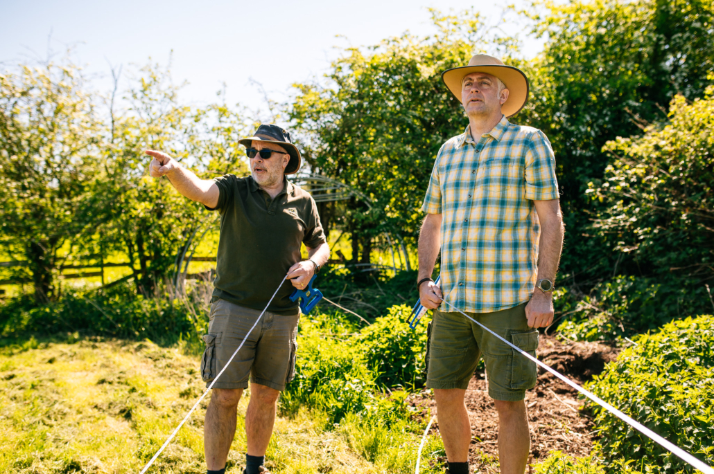
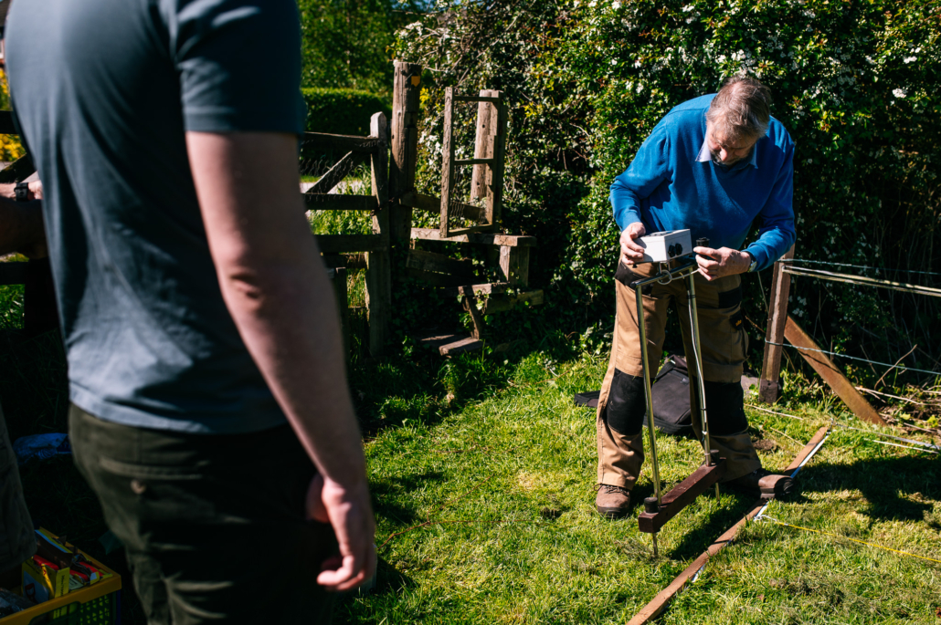
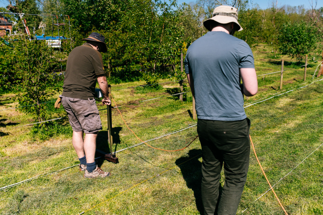
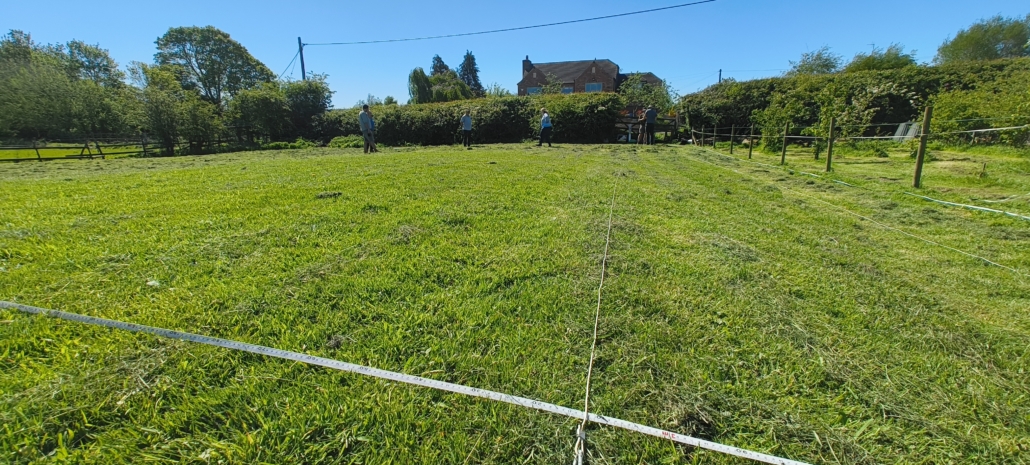
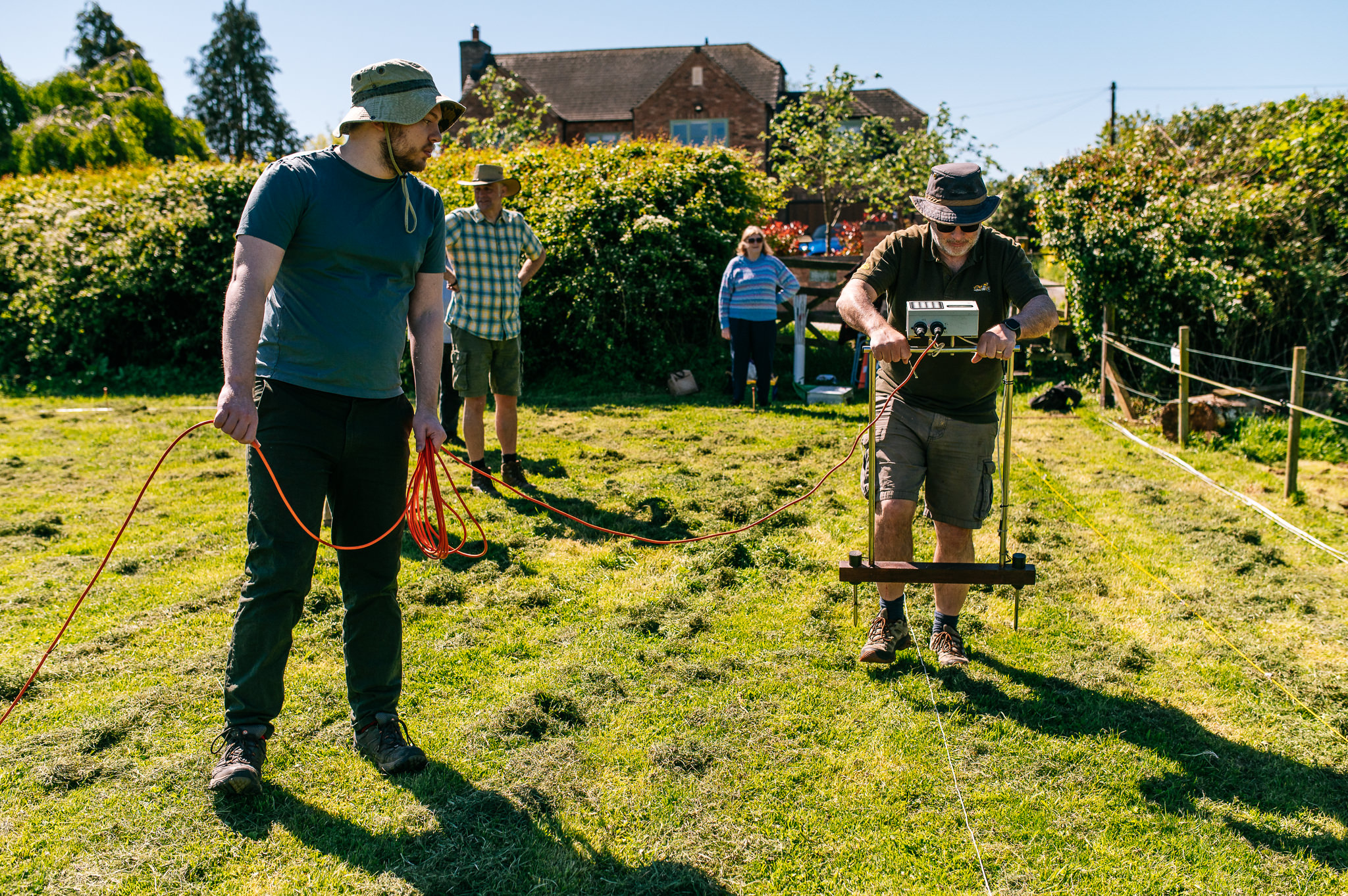
To help us get to grips with the technology, we were joined by Andy Austin and his wife Barbara, who generously brought along their resistivity kit and expertise. Under their guidance, the core committee learned the ropes of setting up grid systems, inserting the twin-probe arrays, and recording ground resistance measurements across key sections of the field.
By mapping these variations in soil resistance, we were able to gather valuable geophysical data over the linear features. The results from this survey will play a crucial role in helping us pinpoint the most promising locations for test pits during our upcoming community digs.